Building a new house
Precisely where you build your new house can be just as important as how you build your house. Architectural drawings and building designs may look perfect on paper, but excavated basements, foundations, and poured concrete walls are extremely expensive to move if your new house has been incorrectly sited on your property.
The best way to avoid this situation is to do things properly from the beginning of your project. Municipalities have rigorous zoning by-laws that dictate the size, use and location of buildings placed on any property located within their jurisdiction.
Learn what’s required
Work with your architect, builder and local building department to determine if a new survey is required before applying for a building permit, or if an existing survey plan will suffice. A Topographic Plan that shows elevations, ground features and tree locations may be required. Municipalities are also extremely concerned about storm water runoff and drainage issues and often demand grading plans that demonstrate there will be no impact from your water drainage on adjacent homes and properties. The grading plan will also show the proposed house location and setbacks from property lines, enabling the city to confirm zoning by-law compliance and fire-separation from nearby structures.
How a survey plan helps
The survey plan will reveal the true size, shape and total area of your property, enabling your architect or building designer to calculate the “building envelope” and proposed lot coverage in which the designed house may be situated. The survey plan may also contribute to the design process, as your architect may design the house to accommodate an existing tree or design a walk-out basement that best fits the ground slope.
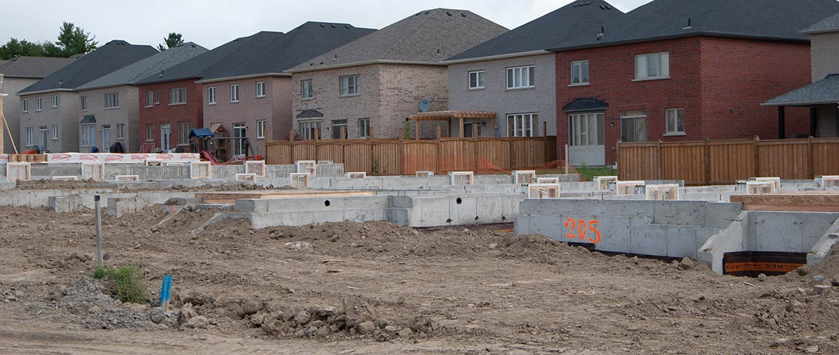
As the project proceeds, have a professional surveyor stake the location of the house to enable accurate foundation excavation and avoid any encroachment on minimum zoning "setbacks". (You can make an application to the Committee of Adjustment to permit a minor discrepancy regarding minimum zoning setbacks.)
The backhoe operator will also need to know the excavation depth (called a “cut”), to avoid the expense of digging beyond the required depth (or not deep enough). After excavation, contractors often require the basement wall locations to be pinned by a surveyor in the bottom of the hole, enabling the building footings to be poured and marked to guide subsequent construction. At this point, many municipalities require a survey to be submitted, which shows the foundation location and "top of foundation wall" elevation, before the ground floor framing can proceed. At the end of it all you may need a site-grading certificate to be provided by a surveyor in order for final landscaping and sod placement to proceed.
As a final tip, consider the benefits of having your property corners visibly marked by an Ontario Land Surveyor. Use these when building a fence or when planting trees or shrubs along the property lines to better protect your boundaries. With the proper team in place, your construction project will result in a properly sited, well-built and completely compliant new home or building in accordance with Ontario Building Code and municipal specifications.
Protect Your Boundaries Inc. is a licensed member of the Association of Ontario Land Surveyors, and is entitled to provide cadastral surveying services to the public of the Province of Ontario in accordance with the provisions of the Surveyors Act R.S.O. 1990, Chapter S29.