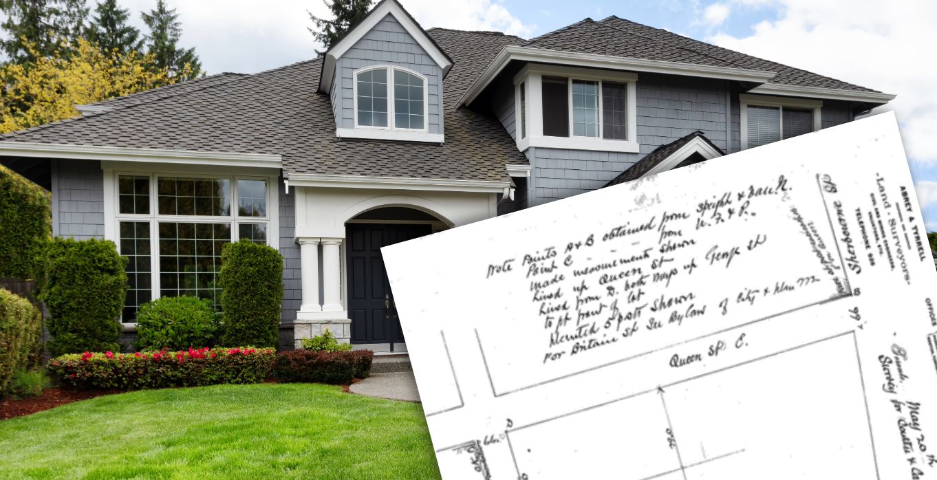
What is the Value in an Old Survey?

Many of our customers ask about older surveys and their validity. It’s important to understand that land survey plans do not "expire"; rather, they become dated as the land changes and evolves. If a property remains unchanged for 50 years, a survey from that time would still accurately represent it. However, if the property has undergone renovations, landscaping, or other modifications, a new survey would be needed to reflect those updates.
That said, even an older survey still holds value, and here’s why:
Older surveys often hold the key to uncovering the true story behind a piece of land. This is because they reflect the original land subdivision, the blueprint of how the land was divided at the very beginning. These foundational records provide insights into the land’s history, much like a family tree reveals ancestral roots.
The "Broken Telephone" of Surveying
To illustrate the importance of old surveys, consider the game "broken telephone." A message is whispered from person to person, sometimes resulting in an inaccurate version of the original by the end. Similarly, land surveys are supposed to follow prior surveys for reference, building upon the work of their predecessors. If an error is introduced at any point that error can perpetuate through subsequent surveys.
Why Original Surveys Matter
Here are some key reasons why old surveys can be the most reliable source of information:
1. Original Intent of Land Division
- Old surveys capture the intent and design of the original land division, which can be crucial in resolving disputes or clarifying ambiguities. They provide a baseline against which all subsequent changes can be measured.
2. Foundation for Modern Surveys
- Modern surveys often rely on older surveys as references. If errors are found in recent surveys, reviewing the original can help identify discrepancies and correct mistakes.
3. Legal Precedents
- Courts frequently rely on older surveys in property disputes because they are considered authoritative records of the original boundaries. These documents hold legal weight as they represent the earliest documentation of property divisions.
4. Historical Insights
- Beyond resolving property disputes, older surveys can provide an insightful look at how a neighbourhood or community has evolved. They can show how roads, lots, and landmarks were initially established.
5. Preservation of Details
- Older surveys can include specific details about landmarks, trees, or other features. These details can serve as critical points of reference for determining original boundaries.
Bridging the Gap: Old Surveys and Modern Technology
Combining the insights of old surveys with modern technology can offer the best of both worlds. Geographic Information Systems (GIS) and advanced surveying tools can overlay historical data onto current maps, creating a comprehensive and accurate representation of property boundaries.
While new surveys offer the advantage of advanced technology and recent data, old surveys remain vital to the surveying industry and property boundary determination. They provide a snapshot of the original land division, a foundation upon which all subsequent surveys are built. Just as history helps us understand the present, these historical documents help us uncover the truth of our land, ensuring accuracy and fairness for generations to come.


