Who Really Owns the Data on Your Property?

At Protect Your Boundaries, we specialize in property boundaries, but our expertise extends to all things land, including land data and records. While land data may not be a common topic of discussion unless you're buying, selling, or modifying your property, it’s important to know how to access this information. To help you in your search, we’ve compiled a list of the key data associated with your property, along with where and how to find it.
Municipal Government Records
One of the first places people turn to when seeking property information is their Municipal Government. Municipalities hold a few records related to your property, including:
- Zoning information, building permits, and inspection records: These are useful for understanding by-laws, obtaining building permits, and reviewing inspection reports or compliance records for developments and renovations.
- Property Tax Information: Your tax bill will detail the taxes owed on your property for the calendar year and also display your properties legal description.
Each municipality has different methods for providing these records. We recommend contacting your local municipal office or visiting their website to learn how to access records and any associated fees.
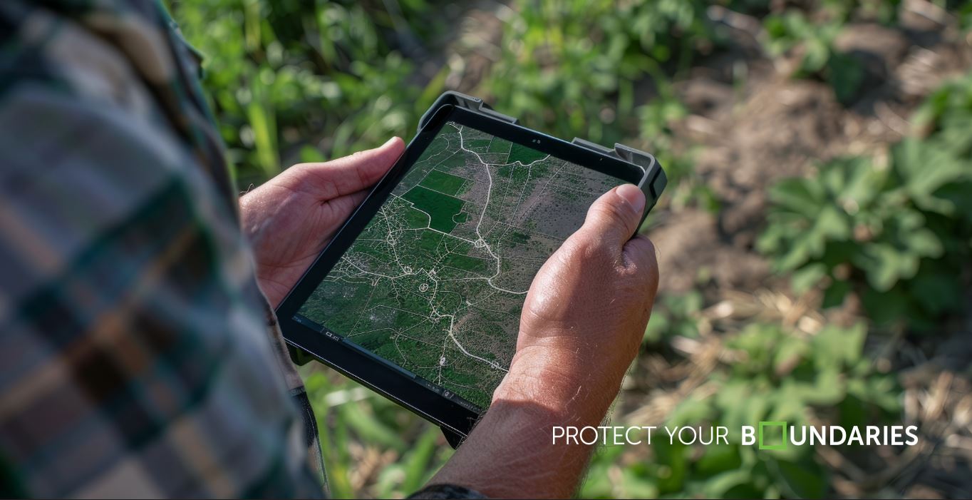
Land Surveys
Private SRPRs:
Private survey firms, like Protect Your Boundaries (PYB), hold the copyright to legal survey plans and detailed data such as:
- Boundary information
- Property dimensions
- Encroachments & Easements
- Other physical features of the property
These documents are essential for determining exact property boundaries and identifying any encumbrances. If you require a survey, you can reach out to PYB or your local land surveyor for assistance.
Public Surveys:
Public surveys can be accessed through the Protect Your Boundaries website or the Land Registry Office (LRO). Unlike legal surveys, public surveys do not show buildings, structures, or specific details about individual properties. These documents, often referred to as Registered or Subdivision Plans, include:
- Legal Description
- Lot Dimensions and Measurements
- Streets, Parks and other public spaces
If you’re considering purchasing a public survey from Protect Your Boundaries, we recommend contacting our customer service team for guidance before finalizing your purchase.
Parcel Registers and Instrument Documents
Parcel registers and instrument documents, available through Protect Your Boundaries or the LRO, provide crucial information such as:
- Property ownership
- Title transfers
- Mortgages
- Property encumbrances
Protect Your Boundaries also offers these documents within our BoundaryPLUS Property reports, which include a plain English explanation of any easements on your property.
MPAC Property Valuation
The Municipal Property Assessment Corporation (MPAC) is responsible for assessing:
- Property values
- Land use classifications
- Property tax information
Property owners can register on the MPAC website to access detailed assessment information for their property.
Other Notable Property Data and Information
Utility Lines & Wires
Before starting any project that involves digging on your property, such as planting a tree, it’s essential to locate any underground utilities, such as wires or gas lines. For assistance with this, you can contact Ontario One Call. While they do not physically mark unground pipes, cables or wires, they will pass your request onto the appropriate infrastructure owners responsible for making the location of buried utilities.
Postal Codes
Did you know that Canada Post owns postal codes? While they are widely used for mail and deliveries, postal codes are considered intellectual property. Municipalities and businesses must follow Canada Post’s guidelines when using postal codes, particularly when updating municipal addresses or using them for commercial purposes.
Google Street View
Google Street View images, owned by Google, offer a virtual view of properties and surrounding streets. While convenient for prospective buyers or property owners, these images are subject to copyright restrictions and may not always reflect the latest developments.
Conservation Authorities and Environmental Consultants
Conservation Authorities and Environmental Consultants play a critical role in managing environmental data and conducting Environmental Site Assessments (ESA). While this may not be relevant to the average homeowner, if you’re purchasing or developing land with a history of industrial use or potential contamination, an ESA may be necessary to ensure the property is safe and free of environmental hazards.


Protect Your Boundaries Inc. is a licensed member of the Association of Ontario Land Surveyors, and is entitled to provide cadastral surveying services to the public of the Province of Ontario in accordance with the provisions of the Surveyors Act R.S.O. 1990, Chapter S29.